Datasets
56 map layers published by Aberdeen City Council on its ArcGIS Hub.
56 results
 Points
Transport
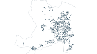
Winter Maintenance - Grit Bins
Location of adopted grit boxes throughout the city, along with their type – either glass-fibre or plastic. Note, ACC does not adopt grit boxes that a factor, developer or any other party has put in place – these are and remain the property
 Points
Waste & Recycling
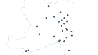
Recycling Points
Point dataset with the locations of Recycling Point s in Aberdeen City Council local authority area. Attribute information includes site name, road name, locality and postcode.
 Points
Environment
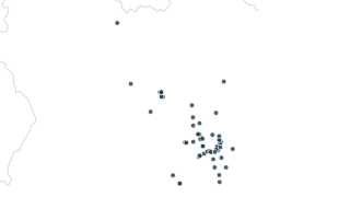
Air Quality - Diffusion Tubes
Tubes measure nitrogen dioxide levels at their location. Used to identify any pockets of air pollution and provide indication of exposure levels.
 Areas
Planning
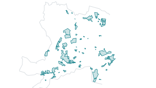
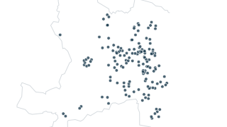
Call for Sites Submissions - ALDP28
Call for Sites Submissions - ALDP28
 Points
Leisure
Play Areas
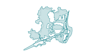
The council maintains various playparks throughout the city for the enjoyment of young people and families in Aberdeen.
 Areas
Environment
Flood Studies
Flood studies aim to refine understanding of the hazard and risk associated with flooding in a particular area, catchment or coastline. They will involve detailed assessment of flood hazard and / or risk and may develop options for managing
 Points
Environment
Flood Schemes
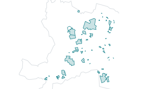
Spatial data shows the existing Flood Schemes within Aberdeen City Council boundary. Flood protection schemes are schemes to manage and mitigate flood risk within an area. These include infrastructures to protect an area against flooding. P
 Areas
Planning
Housing Land Audit 2025
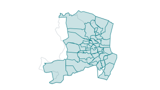
Other categories are school catchments, developer (where known), planning reference (where applicable), site area, eastings/northings, vacant and derelict land status, greenfield/brownfield status, allocated/windfall status, self build regi
 Areas
Education
Primary School Catchments
Boundaries of Primary School catchment areas in Aberdeen. (Non-Denominational)
 Points
Waste & Recycling
Recycling Centres
Point dataset with the locations of Recycling Centre’s in Aberdeen City Council local authority area. Attribute information includes site name, road name, locality and postcode.
 Areas
Environment
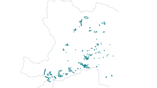
Tree Preservation Orders
T rees are protected if: They are in a Conservation Area. They have a Tree Preservation Order (TPO) placed on them. Conditions have been added to planning permission to protect them from development. You are required by law either to notify
 Areas
Environment
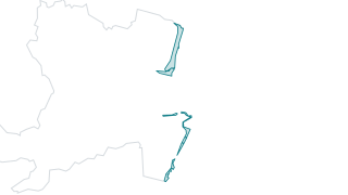
LDP23 Local Nature Conservation Sites (Coastal)
LDP23 Local Nature Conservation Sites (Coastal)
 Areas
Environment
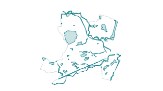
LDP23 Local Nature Conservation Sites (Inland)
LDP23 Local Nature Conservation Sites (Inland)
 Areas
Education
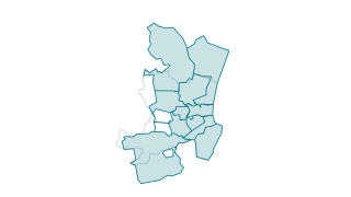
Academy School Catchments
Defined geographic boundaries to identify individual secondary school zones for Aberdeen City as approved from August 2017 where those living within the areas delineated by each individual boundary are described as 'in zone' pupils for that
 Areas
Environment
Air Quality - Management Areas
Air Quality Management Areas are declared when there is an exceedance or likely exceedance of an air quality objective. After declaration, the authority must prepare an Air Quality Action Plan (AQAP) within 12 months, setting out measures i
 Areas
Environment
LDP23 Local Nature Reserves
LDP23 Local Nature Reserves
 Lines
Transport
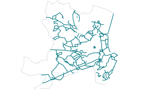
LDP23 Core Paths
LDP23 Core Paths
 Lines
Transport
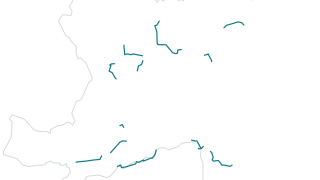
LDP23 Core Paths Aspirational
LDP23 Core Paths Aspirational
 Areas
Environment
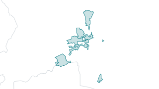
LDP23 Conservation Areas
LDP23 Conservation Areas
 Areas
Boundaries
LDP23 City Centre Boundary
LDP23 City Centre Boundary
 Areas
Transport
LDP23 Business Zones
LDP23 Business Zones
 Areas
Planning
LDP23 West End Shops and Cafes
LDP23 West End Shops and Cafes
 Areas
Planning
LDP23 West End Area
LDP23 West End Area
 Areas
Environment
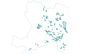
LDP23 Urban Greenspace
Description
 Areas
Planning
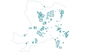
LDP23 Town Centres
LDP23 Town Centres
 Areas
Planning
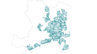
LDP23 Residential Areas
LDP23 Residential Areas
 Areas
Transport
LDP23 Opportunity Sites
Showing LDP23 Opportunity Sites (OP sites) for the Aberdeen Local Development Plan 2023 on basemap OS MM .The information includes the OP number and Site name.
 Areas
Planning
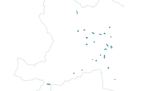
LDP23 New Community Sites and Facilities
LDP23 New Community Sites and Facilities
 Areas
Planning
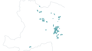
LDP23 Neigbourhood Centres
LDP23 Neigbourhood Centres
 Areas
Planning
LDP23 Mixed Use Areas
LDP23 Mixed Use Areas
 Areas
Planning
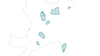
LDP23 Land Release Policy
LDP23 Land Release Policy
 Areas
Transport
LDP23 Land for Transport
LDP23 Land for Transport
 Areas
Boundaries
LDP23 Harbour Port Boundary
LDP23 Harbour Port Boundary
 Areas
Environment
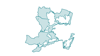
LDP23 Greenbelt
LDP23 Greenbelt
 Areas
Planning
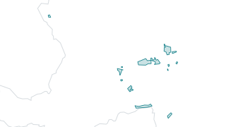
LDP23 Existing Community Sites and Facilities
LDP23 Existing Community Sites and Facilities
 Areas
Planning
LDP23 Energy Transition Zone
LDP23 Energy Transition Zone
 Areas
Planning
LDP23 District Centres
LDP23 District Centres
 Areas
Planning
LDP23 Commercial Centres
LDP23 Commercial Centres
 Areas
Environment
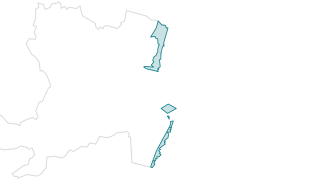
LDP23 Coastal Management Undeveloped
LDP23 Coastal Management Undeveloped
 Areas
Environment
LDP23 Coastal Management Developed
LDP23 Coastal Management Developed
 Areas
Planning
LDP23 City Centre Retail Core
LDP23 City Centre Retail Core
 Areas
Transport
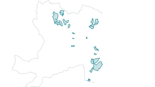
LDP23 Business and Industry
LDP23 Business and Industry
 Areas
Leisure
LDP23 Beach and Leisure
LDP23 Beach and Leisure
 Areas
Transport
LDP23 Aberdeen Harbour
LDP23 Aberdeen Harbour
 Areas
Transport
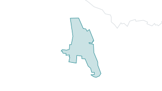
LDP23 Aberdeen Airport
LDP23 Aberdeen Airport
 Areas
Planning
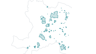
Housing Land Audit 2023
Other included categories are site area and density, constraint status, school catchments and status with regards to other council designations (Brownfield Urban Capacity Study 2019, Strategic Housing Investment Plan, Vacant and Derelict La
 Areas
Boundaries
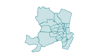
Community Councils 2024
Community Councils are bodies that play a vital role in representing the views of the community to local authorities and other public bodies. Their term of office is 3 years. They have no executive powers but are statutory consultees on pla
 Lines
Boundaries
LDP23 City Boundary
LDP23 City Boundary
 Points
Waste & Recycling
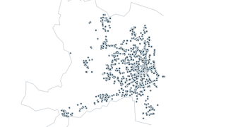
Litter Bins
Map showing the locations of litter bins maintained and emptied by Environmental Services. Please note that while we endeavour to show the correct location of each bin on the map, there may be instances when it is not at the exact location
 Points
Waste & Recycling
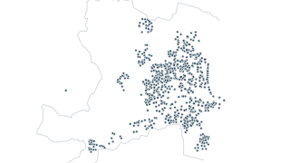
Dog Bins
Map showing the locations of dog bins maintained and emptied by Environmental Services. Please note that while we endeavour to show the correct location of each bin on the map, there may be instances when it is not at the exact location sho
 Areas
Boundaries
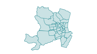
Neighbourhoods
Neighbourhood Boundaries within Aberdeen City Council Local Authority area. Last modified 2009 approx.
 Areas
Education
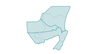
RC School Catchments
Catchment Areas for Denominational Primary Schools in Aberdeen
 Areas
Boundaries
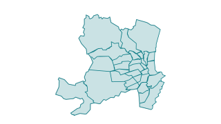
Community Councils 2018
Community Councils are bodies that play a vital role in representing the views of the community to local authorities and other public bodies. Their term of office is 3 years. They have no executive powers but are statutory consultees on pla
 Points
Transport
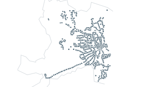
Bus Facilities
Map showing the locations of bus stops, shelters and park and ride facilities within the city boundary of Aberdeen. Data is based on fixed locations of stops and contains stop references and service information.
 Lines
Transport
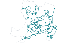
Core Paths 2009
The term “core path” was introduced in the Land Reform (Scotland) Act 2003 where the Act set out that all Local Authorities and National Parks have a duty to draw up a core paths plan that will “provide the basic framework of routes suffici
 Areas
Boundaries
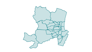
Community Councils 2013
Community Councils are bodies that play a vital role in representing the views of the community to local authorities and other public bodies. Their term of office is 3 years. They have no executive powers but are statutory consultees on pla