Aberdeen City Council
Aberdeen Open Spatial Data
Find, map and query the council's public map layers: school catchments, recycling points, the Local Development Plan and more.
- 56
- Map layers
- 7,964
- Features
- 7
- Categories
Synced from the council's ArcGIS Hub on 30 Oct 2026
Aberdeen in layers
drawn from this portal’s dataWhat’s at my address?
Your school catchments, community council, nearest recycling point and play area, and what the Local Development Plan says about your street.
Browse by category
Every public layer from the council's ArcGIS Hub, grouped by topic.
Data story
Where are Aberdeen’s new homes planned, and which primary schools serve them?
4,017 homes are expected by 2030 on 96sites. We combined two of the council’s layers to show where they land.
Read the story →Popular layers
Open any layer to see it on a map, query what's in view, and download it in the format you need.
 Areas
Education
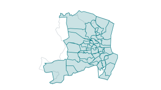
Primary School Catchments
Boundaries of Primary School catchment areas in Aberdeen. (Non-Denominational)
 Points
Waste & Recycling
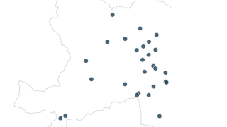
Recycling Points
Point dataset with the locations of Recycling Point s in Aberdeen City Council local authority area. Attribute information includes site name, road name, locality and postcode.
 Areas
Planning
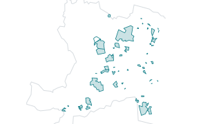
Housing Land Audit 2025
Other categories are school catchments, developer (where known), planning reference (where applicable), site area, eastings/northings, vacant and derelict land status, greenfield/brownfield status, allocated/windfall status, self build regi
 Points
Transport
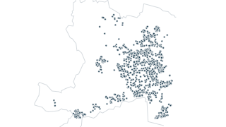
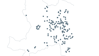
Winter Maintenance - Grit Bins
Location of adopted grit boxes throughout the city, along with their type – either glass-fibre or plastic. Note, ACC does not adopt grit boxes that a factor, developer or any other party has put in place – these are and remain the property
 Points
Leisure
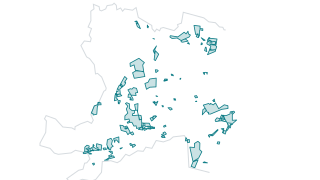
Play Areas
The council maintains various playparks throughout the city for the enjoyment of young people and families in Aberdeen.
 Areas
Planning
Call for Sites Submissions - ALDP28
Call for Sites Submissions - ALDP28
Recently updated
PointsTransport
Winter Maintenance - Grit Bins
Location of adopted grit boxes throughout the city, along with their type – either glass-fibre or plastic. Note, ACC does not adopt grit boxes that a factor, developer or any other party has put in place – these are and remain the property
PointsWaste & Recycling
Recycling Points
Point dataset with the locations of Recycling Point s in Aberdeen City Council local authority area. Attribute information includes site name, road name, locality and postcode.
 Points
Environment
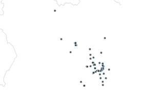
Air Quality - Diffusion Tubes
Tubes measure nitrogen dioxide levels at their location. Used to identify any pockets of air pollution and provide indication of exposure levels.
AreasPlanning
Call for Sites Submissions - ALDP28
Call for Sites Submissions - ALDP28
PointsLeisure
Play Areas
The council maintains various playparks throughout the city for the enjoyment of young people and families in Aberdeen.
 Areas
Environment
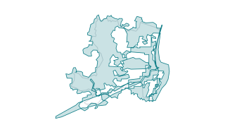
Flood Studies
Flood studies aim to refine understanding of the hazard and risk associated with flooding in a particular area, catchment or coastline. They will involve detailed assessment of flood hazard and / or risk and may develop options for managing
Using the data
Free to reuse
Unless a dataset says otherwise, the data is published under the Open Government Licence v3.0. Please read it before you reuse the data.
Find and use a layer
Search by name or browse by category. Each layer opens on a map you can click for details, filter and query, then download as GeoParquet or connect to the live ArcGIS service.
Missing something?
The council is still deciding which spatial datasets to publish next. Ask for one at gis@aberdeencity.gov.uk.
Other open data sources
More spatial data relevant to Aberdeen is published elsewhere.
- Historic Environment Scotland
Listed buildings, scheduled monuments and other heritage designations.
- Spatial Hub Scotland
Data from all 32 Scottish councils, standardised into national layers.
- Ordnance Survey Open Data
Free basemaps. The council can’t share basemap data, which it licenses from Ordnance Survey.
Your ArcGIS stays the source
Nothing changes for the GIS team. Layers keep being edited in ArcGIS Online; this site reads them, can refresh on a schedule, and gives residents a faster way in: search across every layer, maps that load instantly, and queries that run in the browser.